Papua New Guinea

Surveying Earthquake Damage with LiDAR in Papua New Guinea

Working for a major oil and gas company, GUS completed an airborne laser scanning (LiDAR) survey over sections of road which support a major liquefied natural gas (LNG) pipeline in the Highlands of Papua New Guinea.

The survey was completed in extremely challenging conditions: high altitude, extreme relief, dense tall vegetation and variable weather conditions.

ALS Long Section

ALS Long Section

Looking down the access road/right-of-way

Looking down the access road/right-of-way

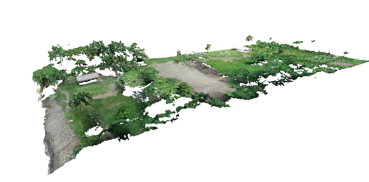
RGB colored point cloud

RGB colored point cloud

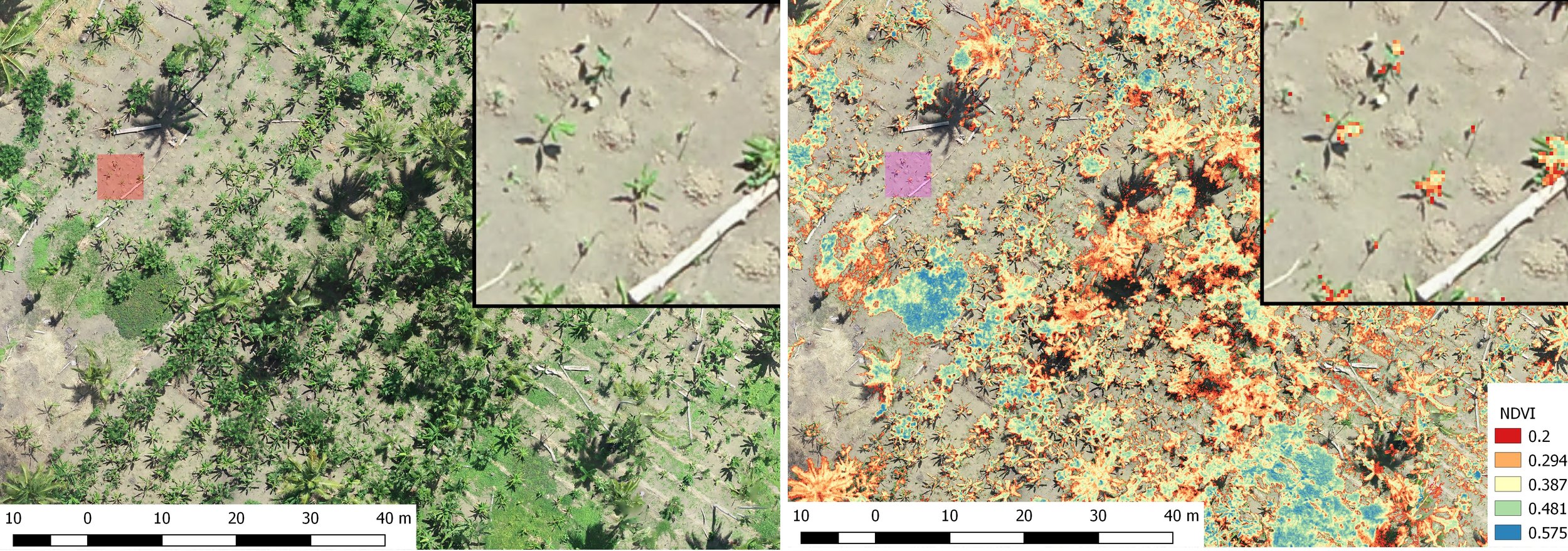
Derived data products
Derived data products
Website Pics.png

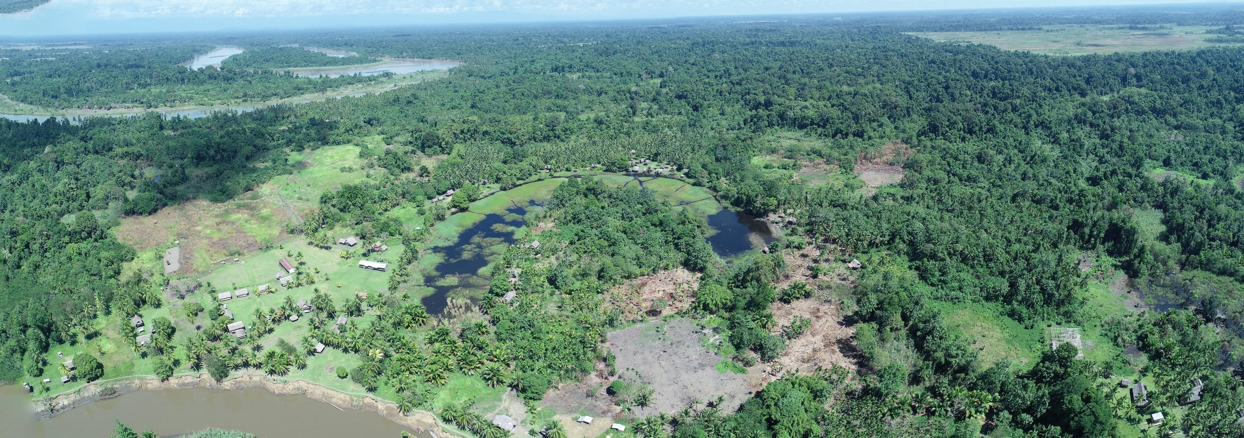
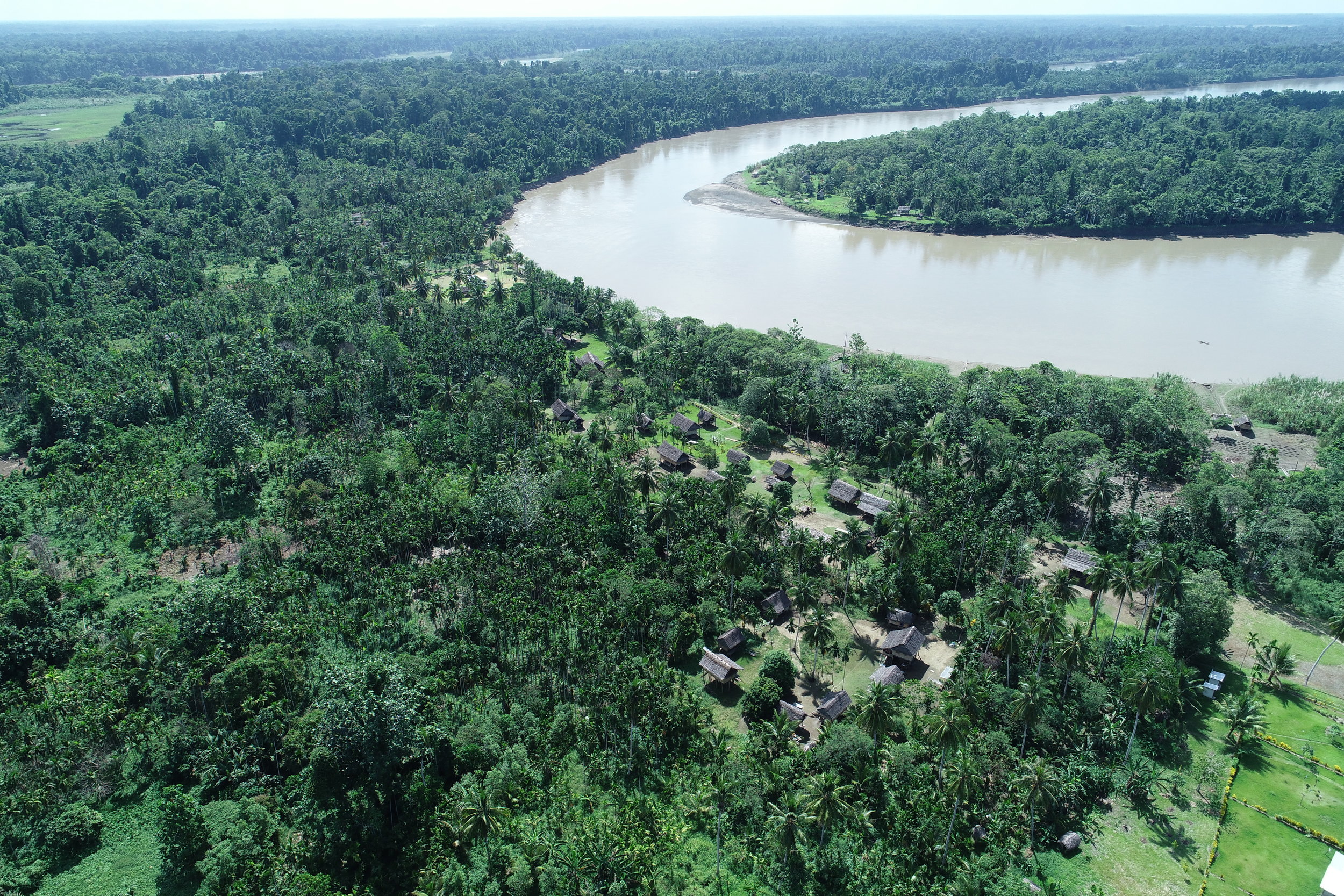
Assessing the application of drone technology to help communities in remote Papua New Guinea

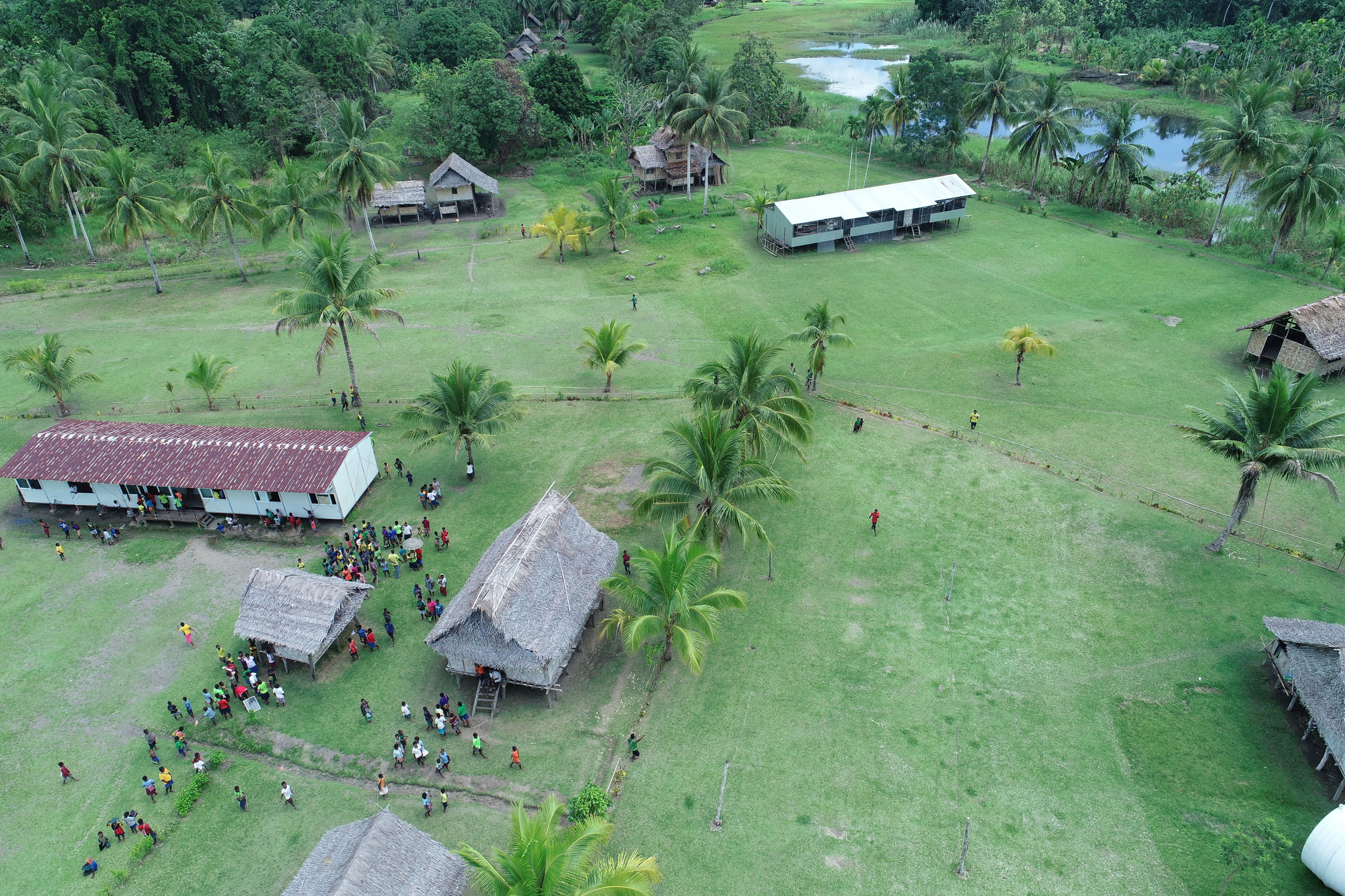
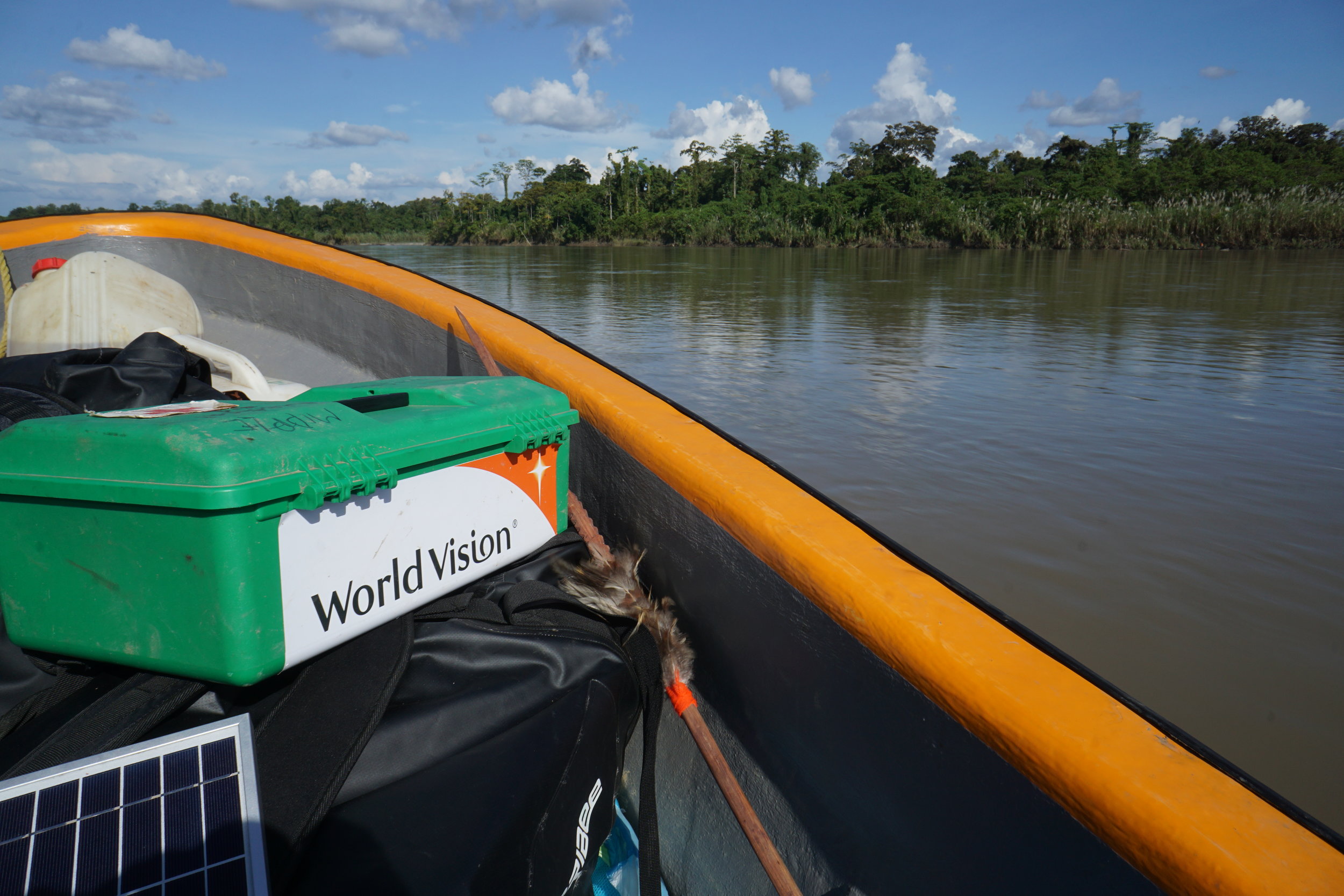
GUS was engaged by World Vision, a World-leading humanitarian aid, development and advocacy organisation to assess the feasibility of utilizing small drones to assist its operations.

World-Vision-Logo.jpg

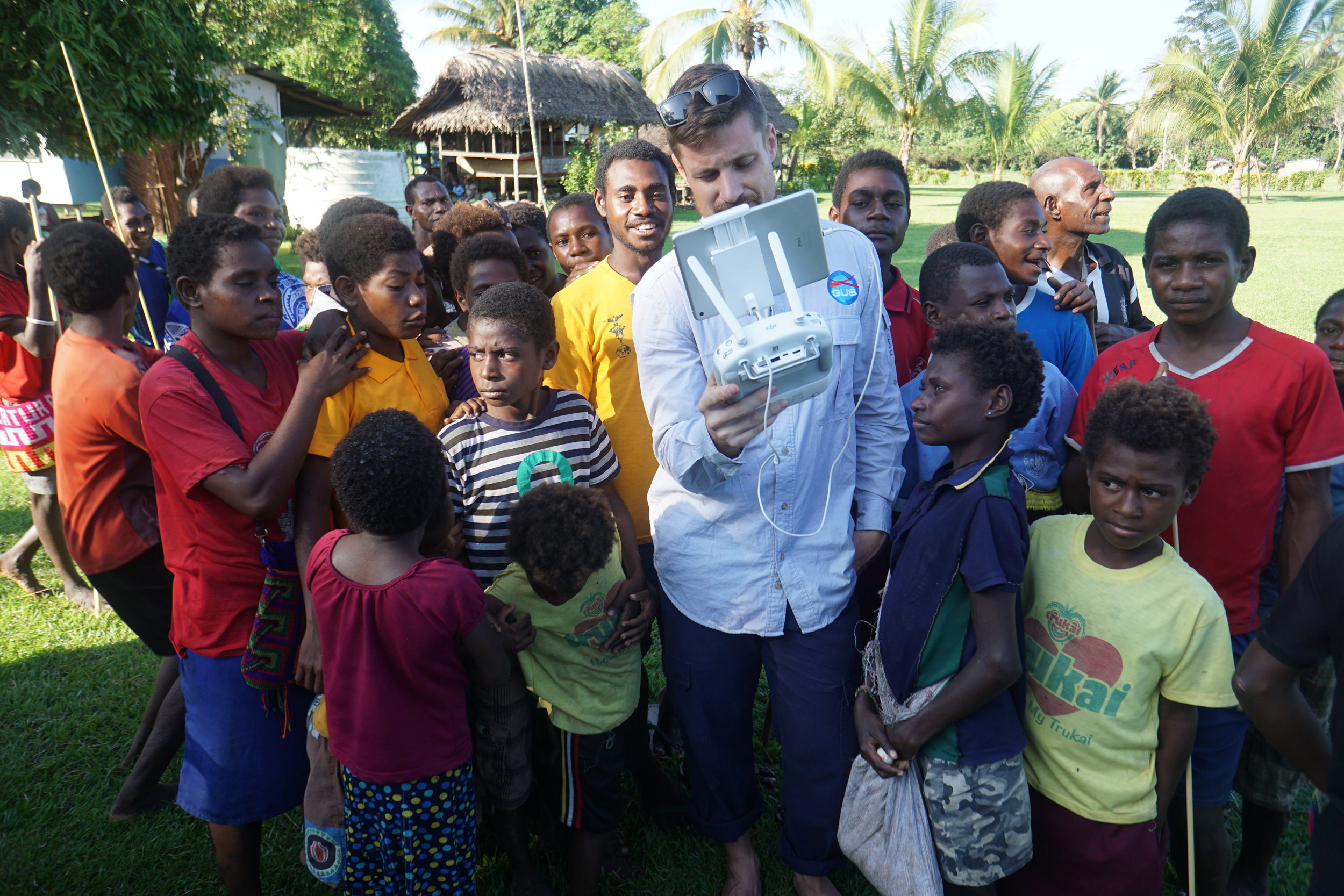
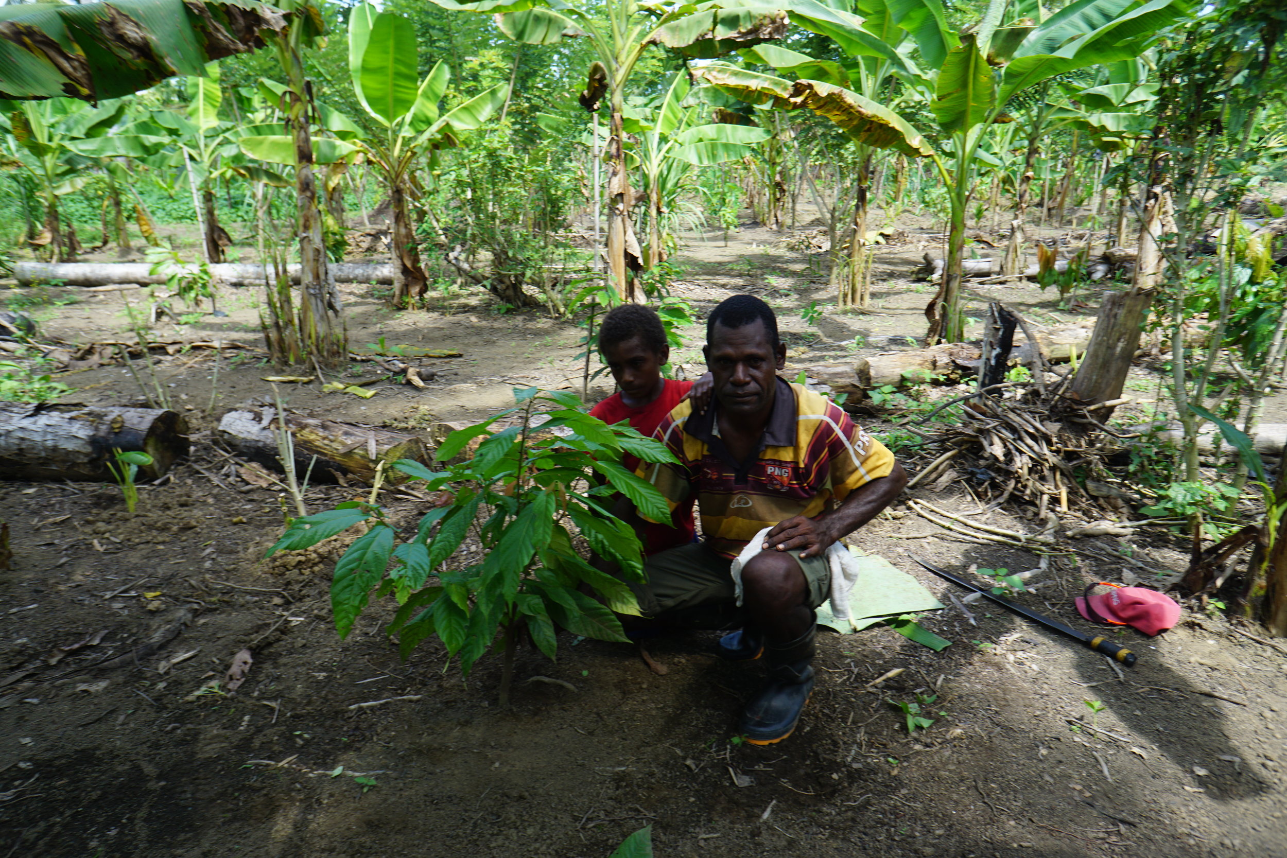
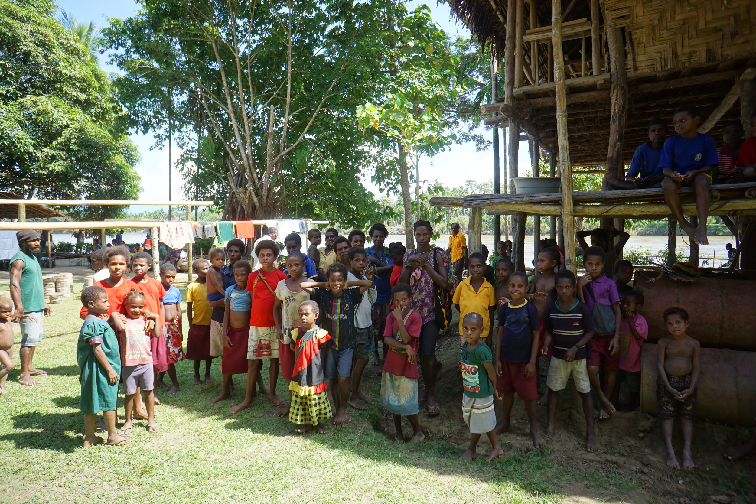
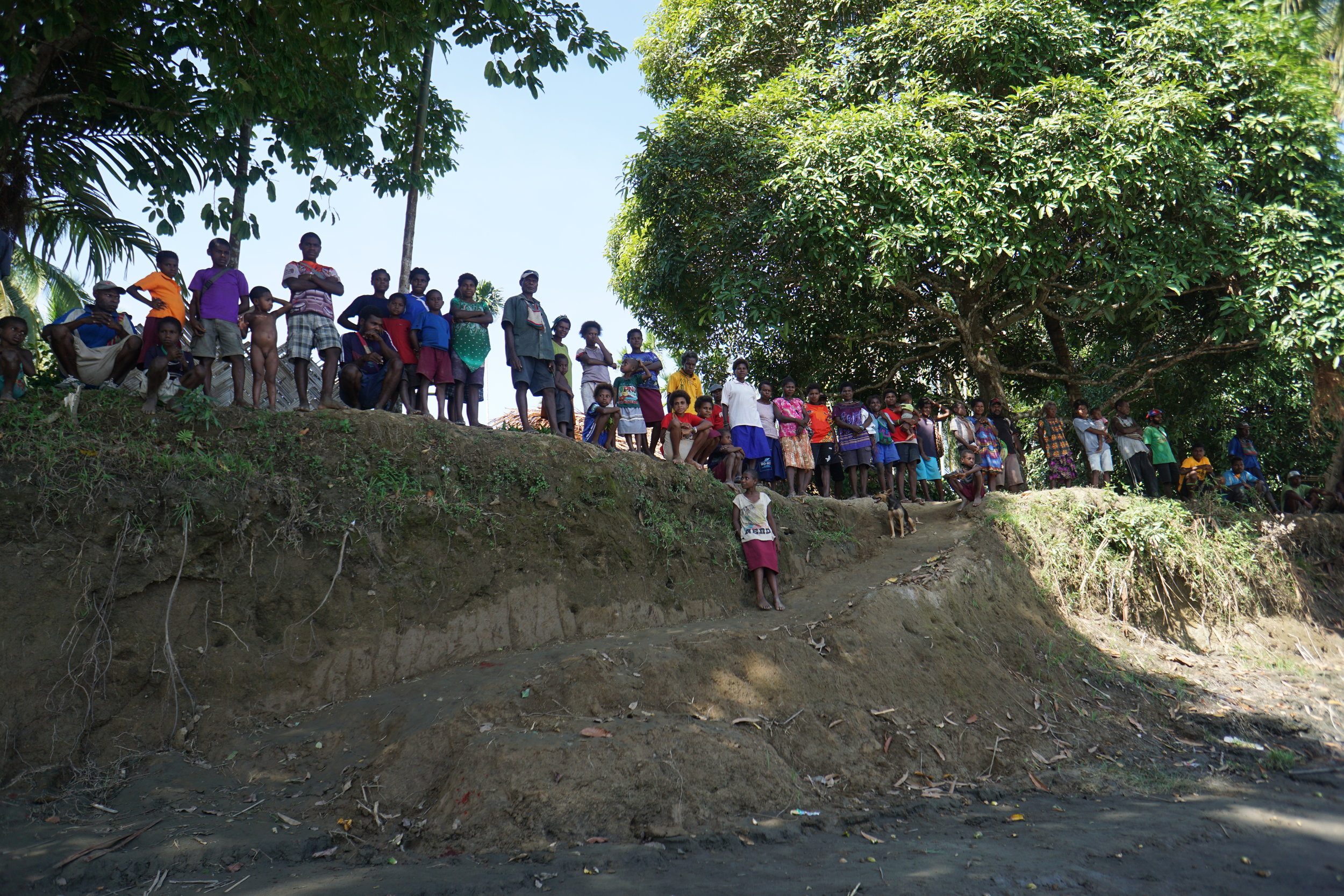
GUS conducted wide-ranging consultation with World Vision staff in Port Moresby, Madang, as well as one of their remotest project sites in the Middle Ramu region of PNG.

GUS found clear benefits in the short-term to use of the technology to support key areas in World Visions programming, as well as in the future once an internal framework and capability to support the planned activities is well established.

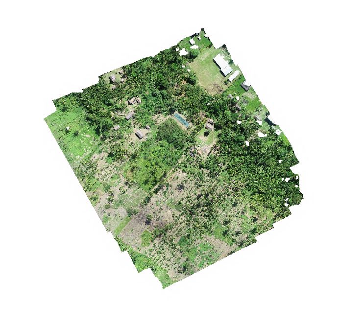
GUS worked with CASA PNG and PNG Airservices to conduct a number of proof of concept exercises.